If you have walked in the Aberdare area, you may have noticed the occasional "Aberdare Circular" waymark. However, searching for information on Google, doesn't provide anything useful about this walk. One newspaper article* mentions its launch in September 2013, but all information on the route seems to have been lost.
Far from becoming a "popular addition to the area", it has become a mysterious hint of a once interesting walk.
N.B. The route is currently impossible to follow through Hirwaun, due to roadworks on the Heads of the Valleys Road (A465) and resulting footpath closures. Also, some sections south of Hirwaun are dangerously steep and overgrown, or disappeared into the bracken. A good alternative is to use the new track leading up to the windfarm.
The official leaflet, should be available at Yumpu. If not a copy can be downloaded from our leaflet archive. Also a gpx file of the route. A route map is shown below.
Some views from the northern part of the route:
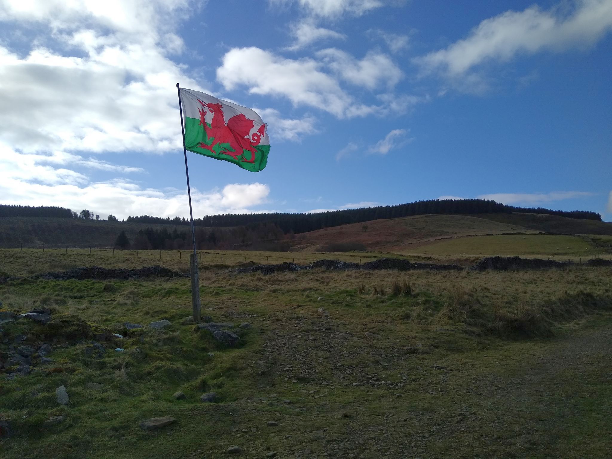
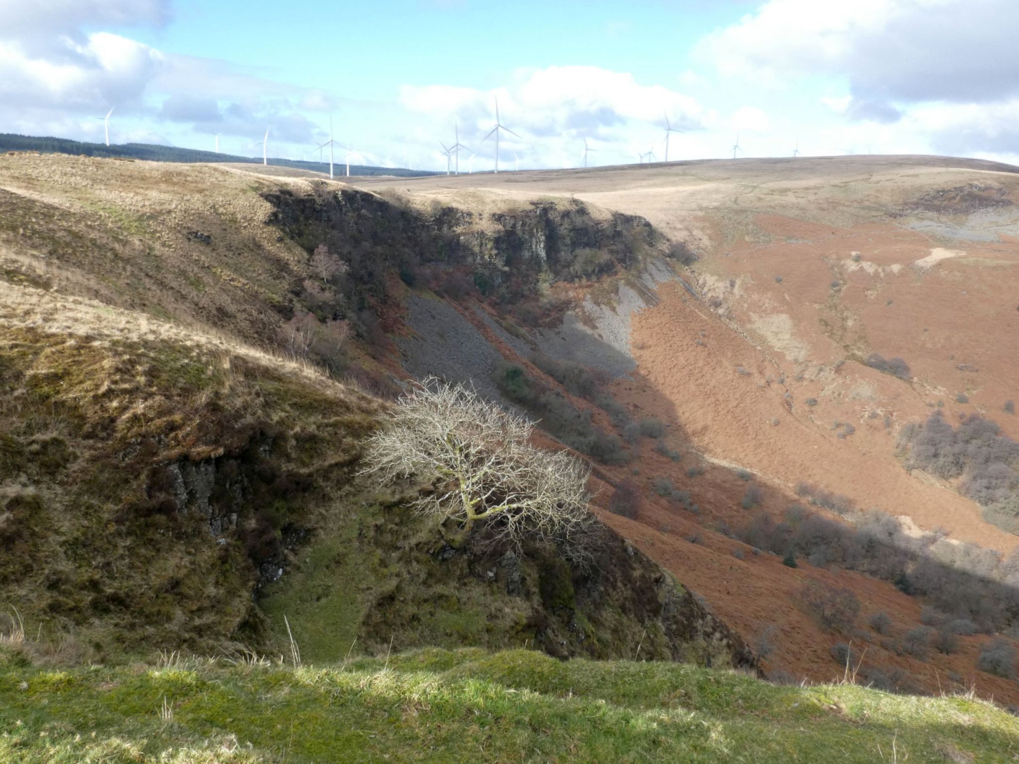

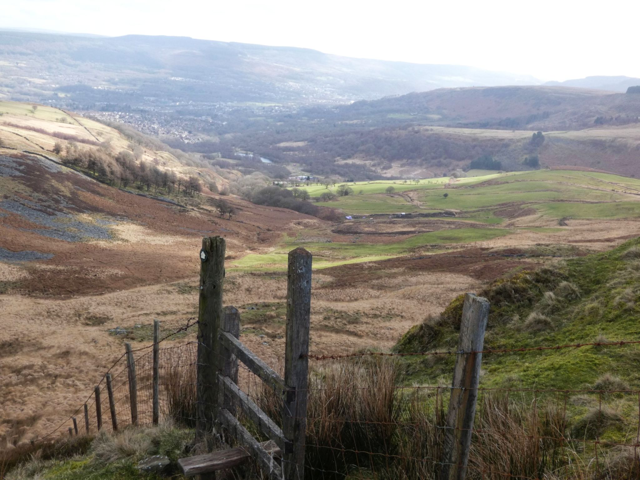
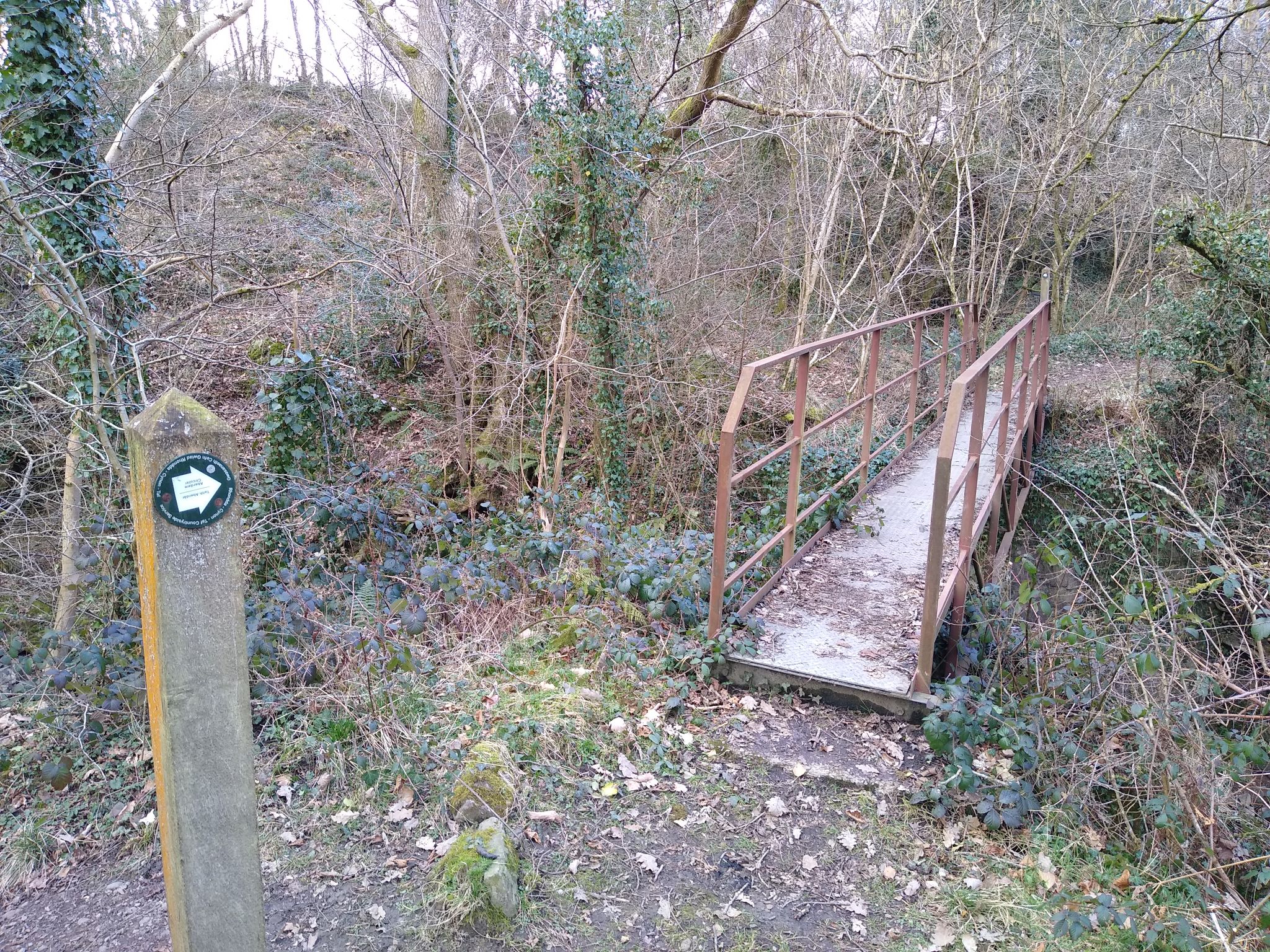
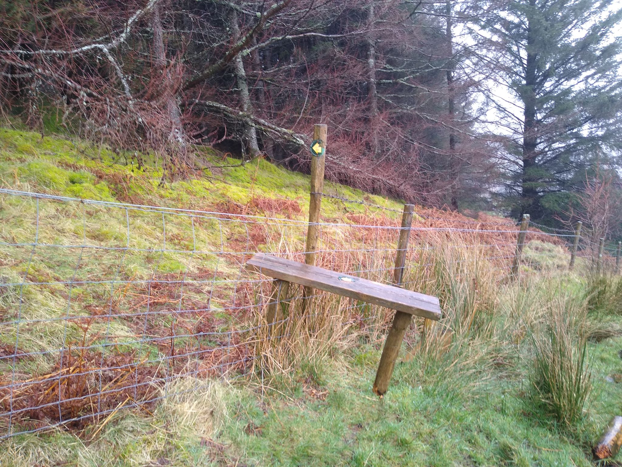
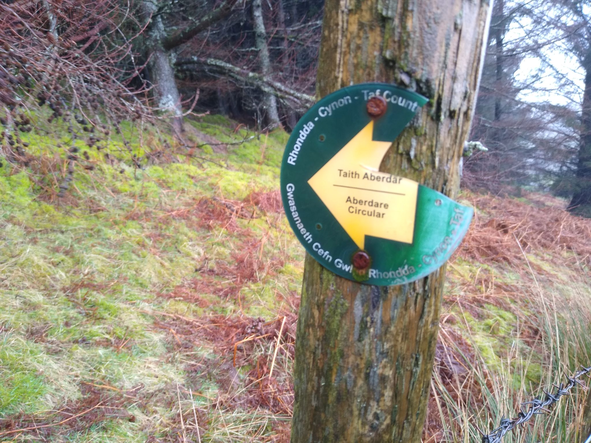
At the top of a field above Cwmbach is a dilapidated stle with a damaged Aberdare Circular waymark, pointing into impenetrable conifer woodland.
<?php
$map=new RLeafletGpxMap(); // standard software to read json feed and decode file
$map->linecolour='#782327'; // optionally set the route's line colour
$map->addDownloadLink="Public"; // "None" no download link, "Users" link if registered user; "Public" link for public
$map->displayPath("images/routes/AberdareCircular/AberdareCircular.gpx");
?>
*The following article appeared on Aberdare Online, although it no longer seems to be available. This was the only evidence of the route found on Google at the time of writing.